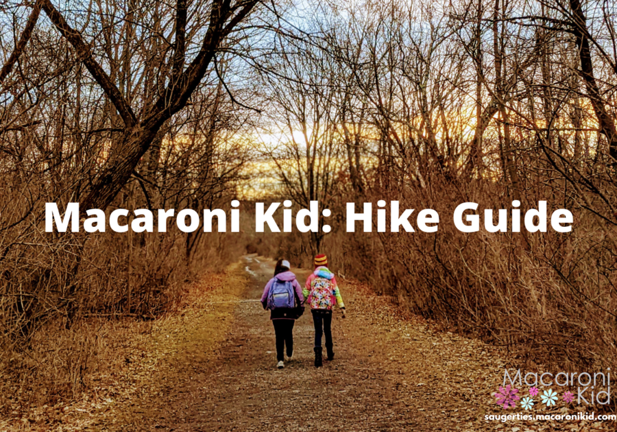
This week's featured hike I went with just my oldest, she is 9. It was a perfect mother daughter adventure, that would have taken a lot longer with my youngest two kids.
| Ticetonyk Mountain | ||||
Peck Road, Shokan, NY | ||||
Ticetonyk trailhead is located on Peck Road in Shokan. I used 398 Peck Road as the address, but it is actually a little further, just drive past this location on your GPS and look for the trail head sign on your right. | ||||
The parking lot is a smaller lot, but we were the only ones there when we arrived. We quickly checked out the map on the trailhead kiosk, and then headed on our way! Our plan was to make it to the end of the trail, have our lunch, and head back home. The main trail is 1.3 miles to the top. 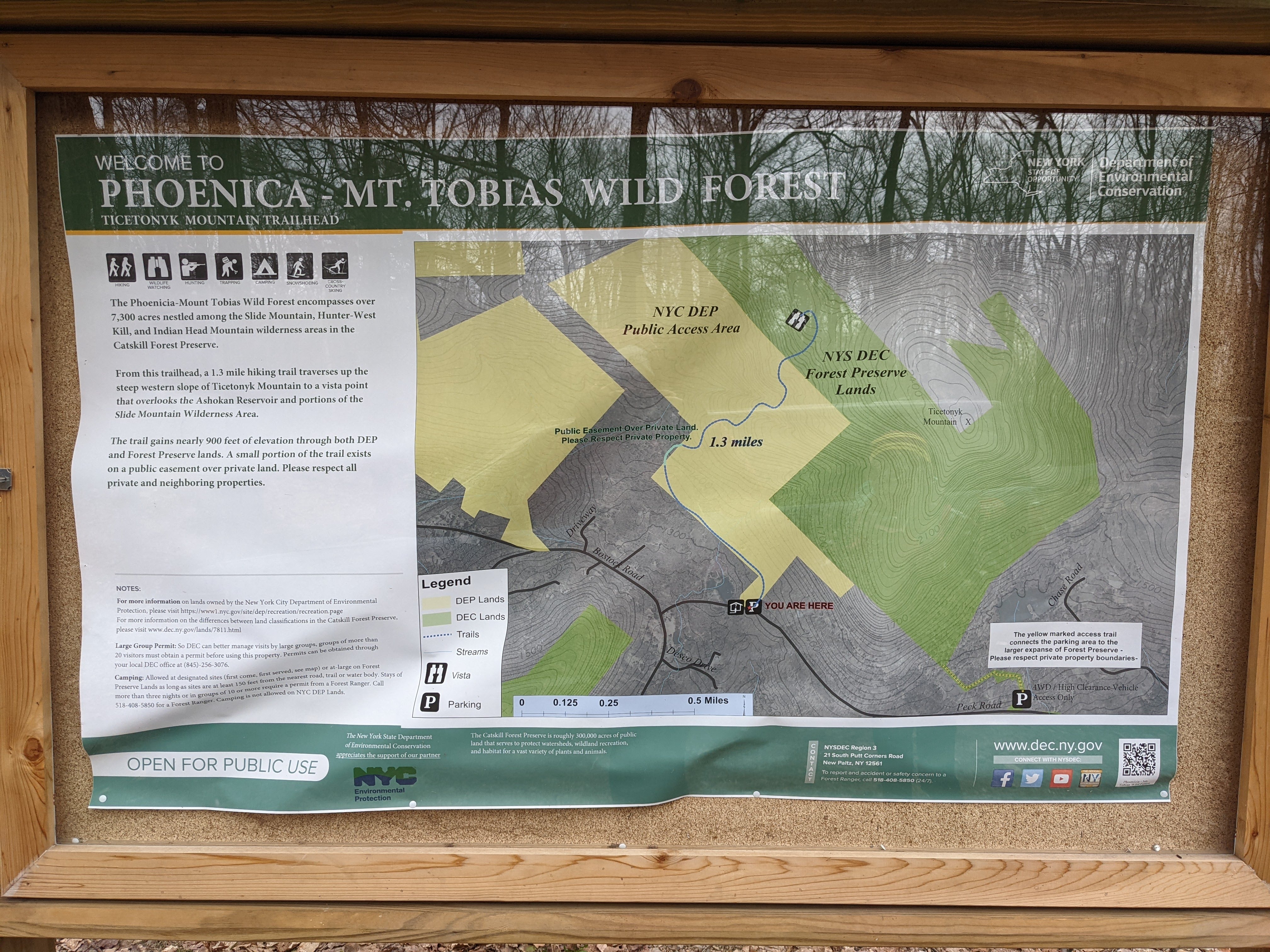 | ||||
The beginning of your trail you will notice orange markers on the trees on your left hand side. This is the property border. Behind this line, is owned by Camp Seewackamano. If your kids are anything like my daughter, they will want all the information possible on this camp. (There was a rockwall, ropes course, a kayaks, and more... so she is very intrigued). Please note this is NOT part of the public trail, and there is no trespassing. The beginning of the trail is relatively flat with a very gradual incline. There was only one area that was very muddy, so we walked just off the trail for this section.  | ||||
Along our more recent hikes, there were many areas that we called "natural playgrounds" we did not find much of that along this trail, but of course we found the perfect tree to sit for a quick snack! | ||||
After our short break, the incline got more steep, and we could definitely feel the "mountain climb". We passed over a very small stream that came through some rocks and over the trail. After a big rain this may be a little more flooded, but no problem for us this trip and it was very pretty!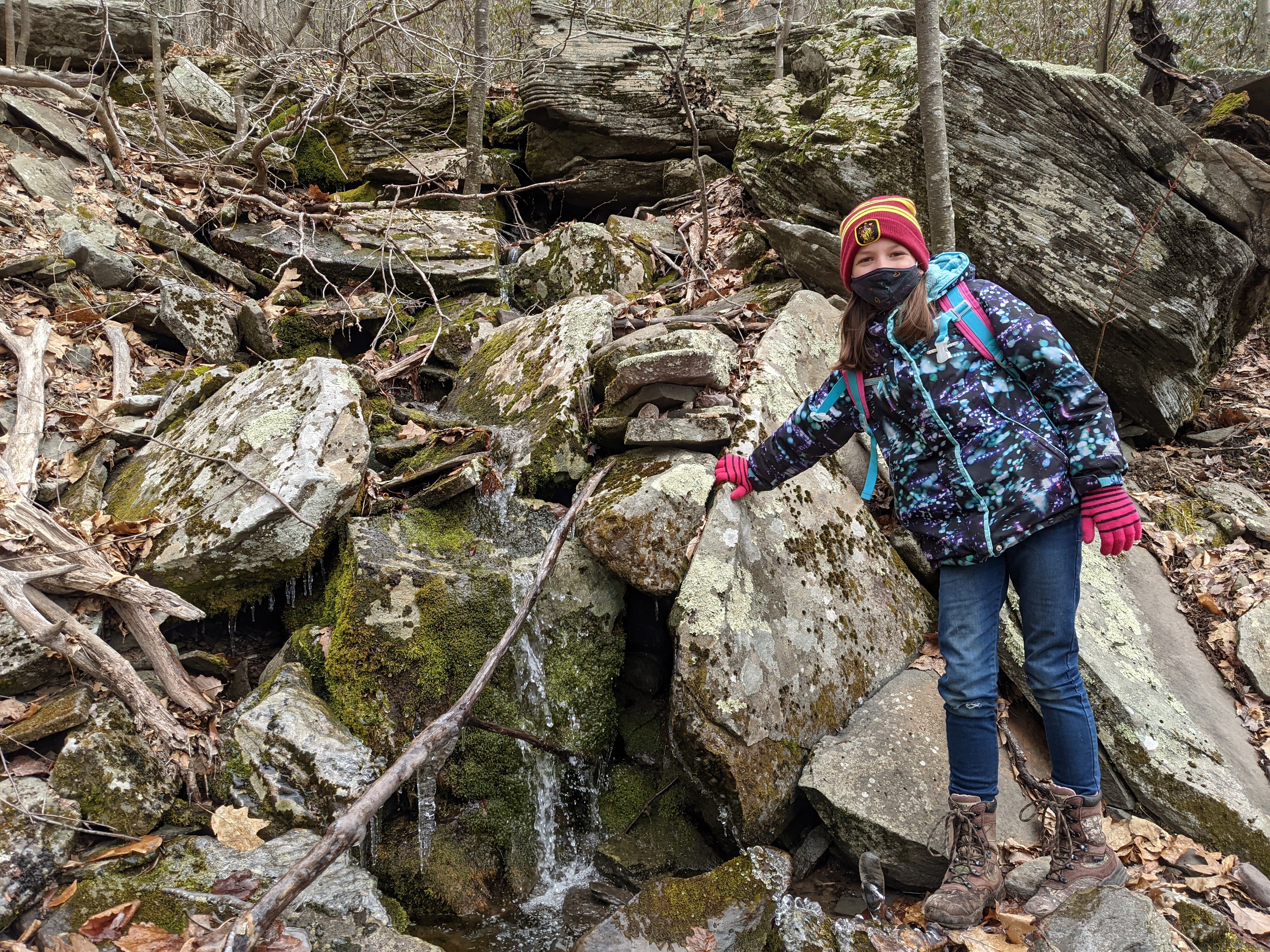 | ||||
We were able to use the rocks on both sides of the trail to set up a photo timer!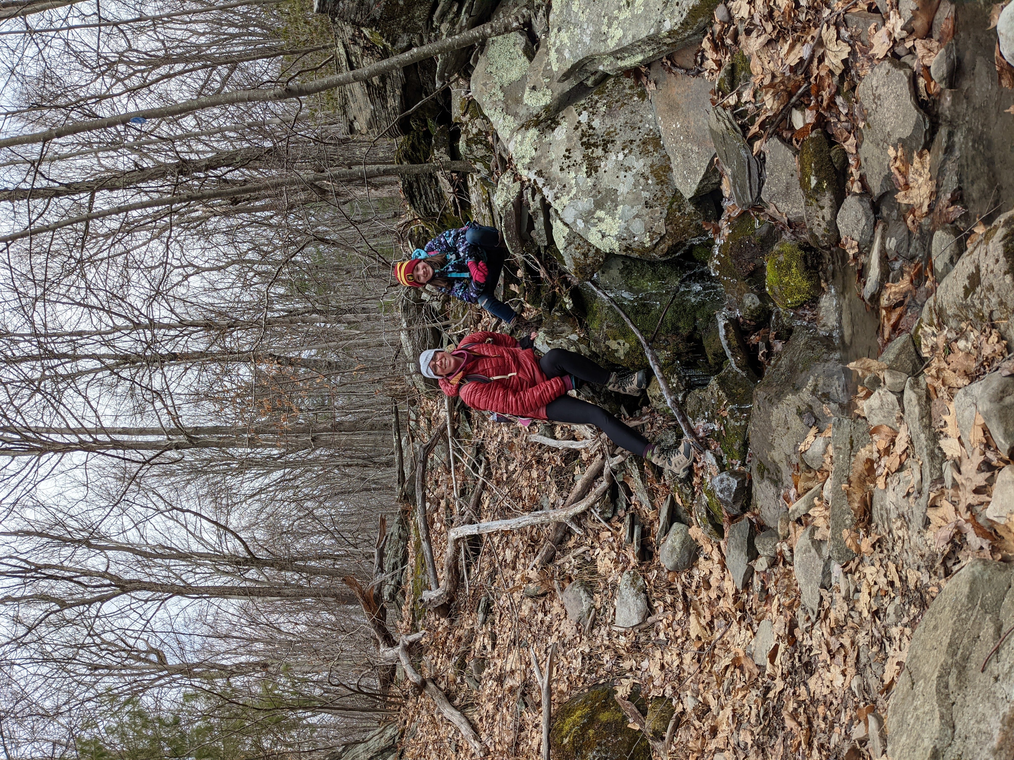 | ||||
When you reach the end of the main trail, you will see the mile marker sign. But don't just turn around here. You can head down the trail a little further to the West View. This is where we stopped for a gorgeous view and our lunch.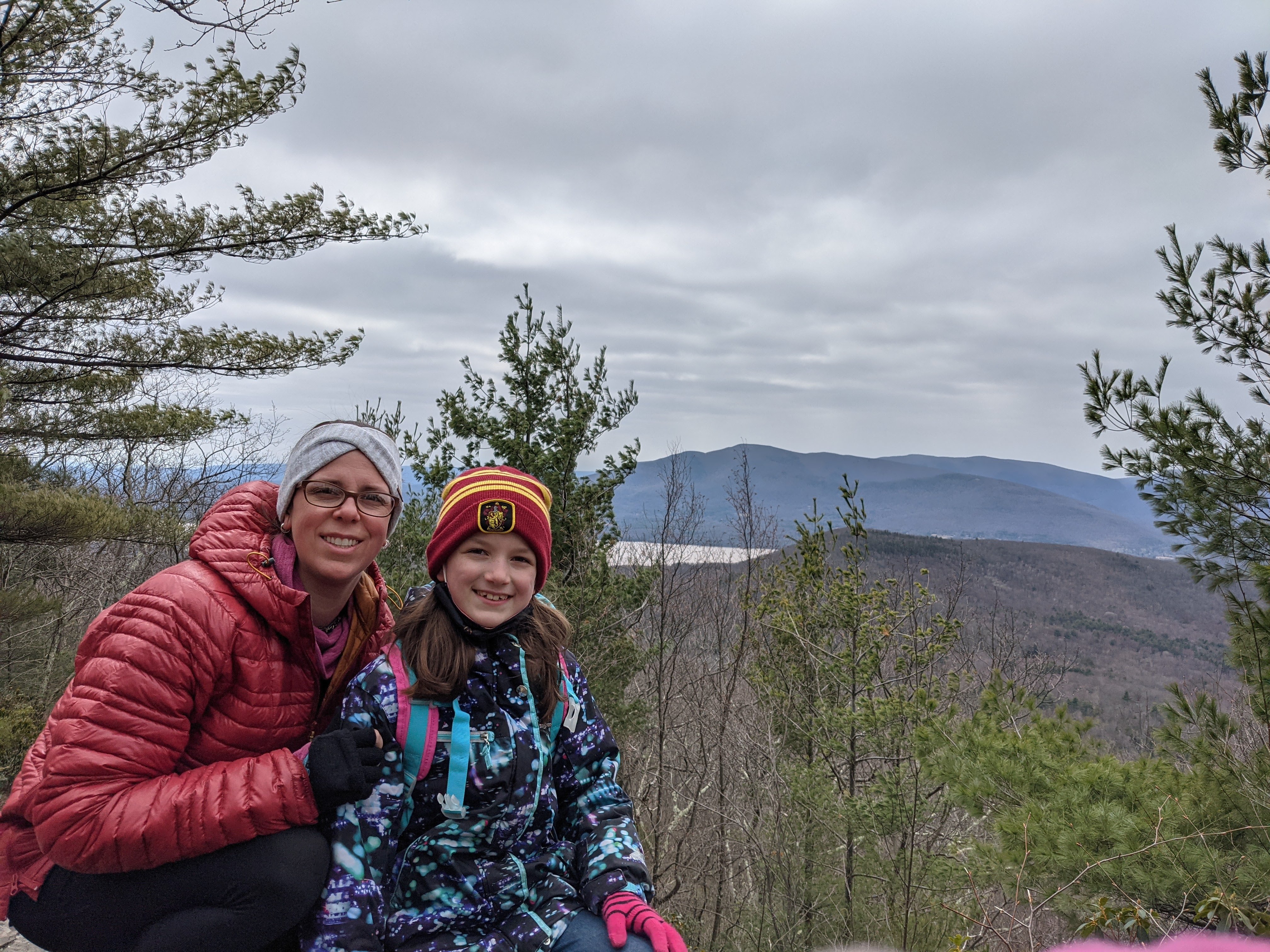 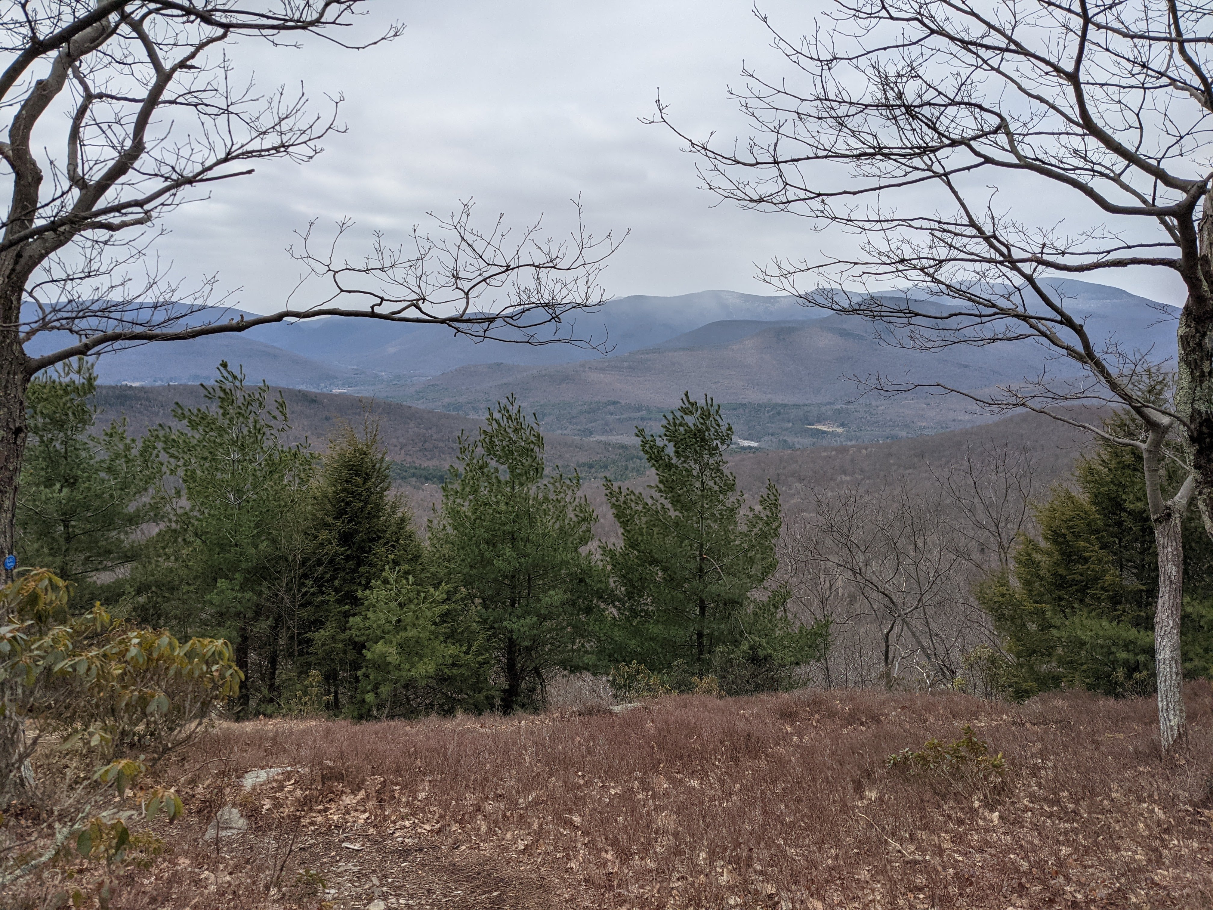 | ||||
| There is a little more of the trail you can add, we added about .2 out and then followed the same trail back, but there was no more view points. So unless you wanted to add a little extra distance, don't worry about this last bit of the trail. Heading back always take us less time than the climb up. This was a very enjoyable hike, ended up being about 2.8-3 miles out and back. 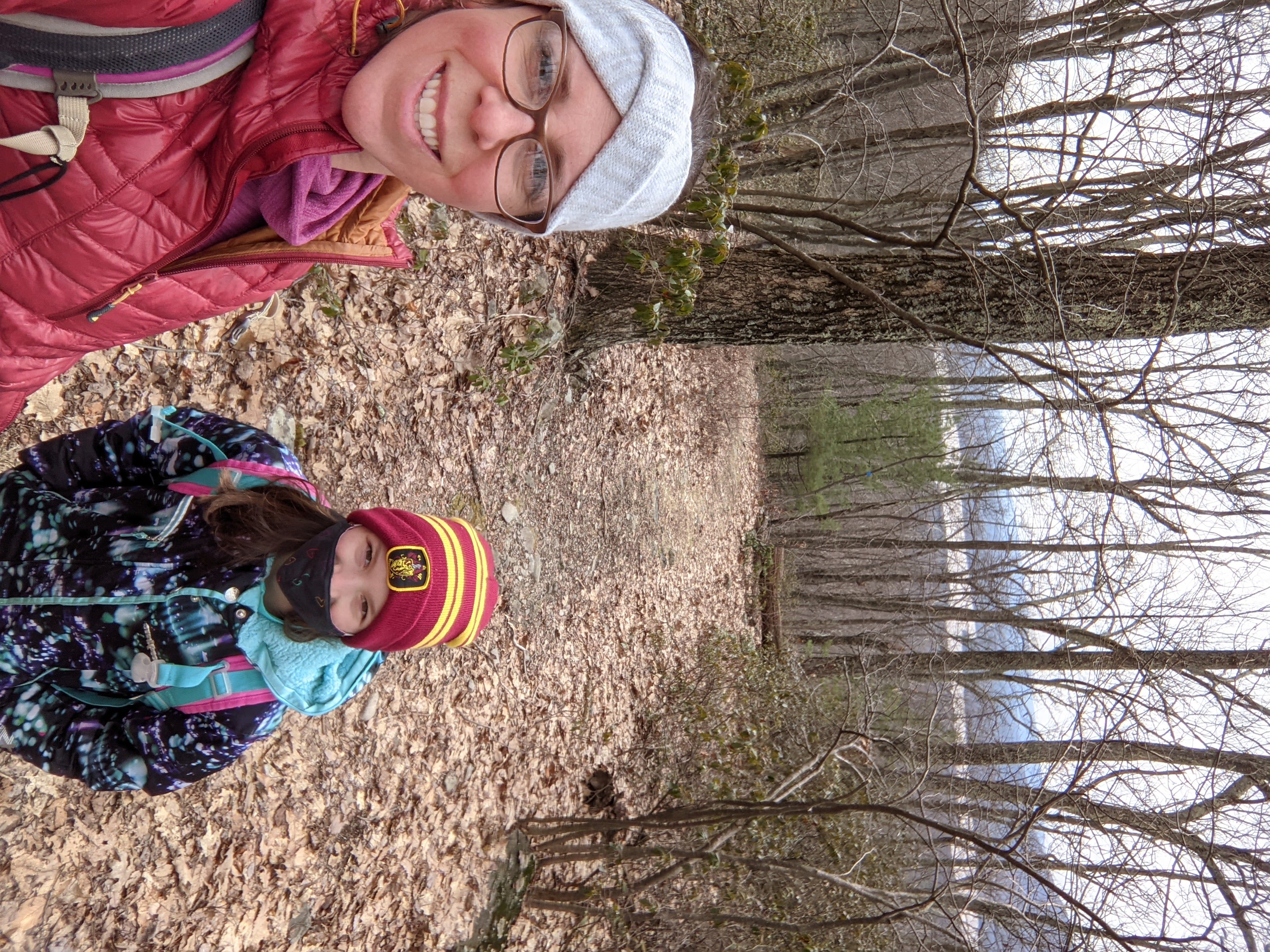 | ||||
| Remember to always respect the world around you, including people and our trails. Do you have a favorite spot to hike or take a stroll? Email me at JennaS@macaronikid.com | ||||
Interested in checking out more of our weekend hikes? You can see them all on our Hiking Guide! |